REPORT : ALOK SEMWAL
Dehradun. Every year, millions of pilgrims pour into Uttarakhand’s mountains to complete the Char Dham Yatra — and every year, the mountains remind everyone just how unforgiving they can be. This time, the government has decided to get ahead of that reality. On the directions of the Union Home Ministry, the National Disaster Management Authority (NDMA) and the Uttarakhand State Disaster Management Authority (USDMA) are now putting disaster preparedness through a serious stress test before the first pilgrim even sets foot on the route. A large-scale mock drill is lined up for April 10, spread across seven districts simultaneously.
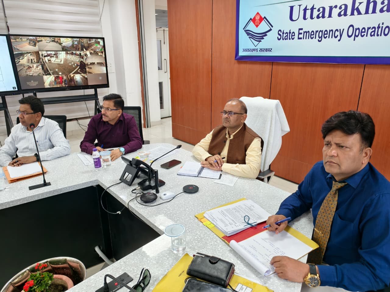
The groundwork for this began Thursday, when USDMA hosted an Orientation and Coordination Conference. District officials from every region touched by the yatra sat alongside representatives from a range of departments. Secretary, Disaster Management and Rehabilitation, Vinod Kumar Suman, and NDMA Senior Consultant Major General Sudhir Bahal (Retd.) took charge of the session, walking everyone through what the drill will look like and what is expected of each agency.
Seven Districts, One Day, No Room for Error
Vinod Kumar Suman was direct about the stakes involved. The Char Dham Yatra, he said, carries far more weight than just religious significance — how the state manages it reflects directly on Uttarakhand’s credibility as a whole. With Chief Minister Pushkar Singh Dhami keeping a close watch, departments have already shifted into higher gear, and the Disaster Management wing is running on full alert.
The April 10 drill will roll out across Uttarkashi, Chamoli, Rudraprayag, Haridwar, Tehri, Pauri and Dehradun — all at once. The nerve centre for the entire operation will be the State Emergency Operations Centre at USDMA, where real-time coordination will be managed and monitored.
Every Officer Will Know Their Job Before the Drill Begins
Major General Sudhir Bahal made clear that this exercise will be run strictly under the IRS — Incident Response System — framework. That means no ambiguity about who does what. The Incident Response Team, Implementation Branch, Planning Branch and Resource Branch will each carry specific responsibilities, and every person in the chain — from the Incident Commander at the top to the Nodal Officers on the ground — will need to demonstrate that they know their role before a real crisis forces the question.
The drill will also put inter-agency coordination under the microscope. How fast can the Air Force, Army, ITBP, NDRF and Paramilitary Forces link up with local administration, the Public Works Department, police, health services and transport when things go wrong on a mountain road at night? That is exactly the kind of question this exercise is designed to answer.
A Rehearsal for the Worst
The scenarios lined up for the drill read like a catalogue of everything that has gone wrong on these routes over the years — road accidents, helicopter crashes, earthquakes, fires breaking out in hotels and dharamshalas, stampedes at the shrine premises and on narrow mountain passes, flash floods, landslides, avalanches, lightning strikes and falling rocks. Each one will be played out to see whether the response machinery kicks in the way it should, or whether there are gaps that need fixing before the real season begins.
Know Where Your Resources Are — Before You Need Them
One of the sharper points Major General Bahal raised was this: owning resources and being able to deploy them quickly are two very different things. He pushed hard for GIS mapping of high-risk zones along the yatra corridors, arguing that when a disaster hits, you cannot afford to spend precious time figuring out where the nearest rescue team or medical unit is parked.
He also flagged the issue of accommodation capacity. If a road closes mid-route or a storm traps pilgrims at a certain point, do the hotels and dharamshalas nearby have enough space to hold them safely? That assessment, he said, needs to happen now — not when thousands of pilgrims are already stranded.
Weather alerts and real-time road condition updates for pilgrims were also on his checklist, along with clear information about landslide-prone sections so travellers know what they are walking into. And for stretches where mobile signals simply do not reach, he put satellite-based communication on the table as a serious option worth pursuing.
The meeting brought together Additional CEO (Implementation) DIG Rajkumar Negi, Additional CEO (Administration) Mahavir Singh Chauhan, Joint CEO Mo. Obaidullah Ansari, Dr. Bimlesh Joshi, RTO Dehradun Anita Chamola and a number of other senior officials from across departments.